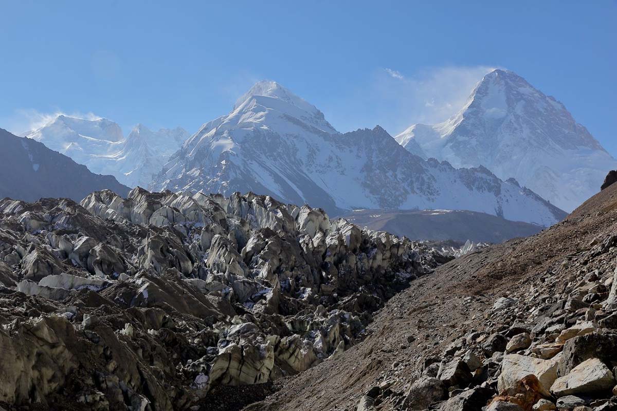
K2 North
See the north face of the world’s second-highest mountain from the Shaksgam side.
 Plan this trek
Trekking / Karakoram North
Follow the Aghil Pass into Shaksgam Valley, where river crossings, camel teams, glaciers and the north faces of the Karakoram turn a trek into an expedition.
Start this route briefShaksgam Valley · Xinjiang
depending on the K2-only or extended Gasherbrum plan
Aghil Pass, with most walking around 4,000 m
including approach, acclimatisation and weather room
subject to current trail and permit conditions
The northern side of the Karakoram begins beyond Kashgar and the Yarkand River. From a village near Kurul, the route climbs over Aghil Pass and drops into Shaksgam Valley — a large, glaciated landscape with few traces of permanent settlement.
From the valley, the journey can reach the north side of K2 or turn south towards Gasherbrum Base Camp and its glaciers. This is remote country: the exact itinerary must follow current access, river levels, weather and the logistics of the local camel team.
Four reasons this is a trek for travellers drawn to big, quiet terrain.
See the north face of the world’s second-highest mountain from the Shaksgam side.
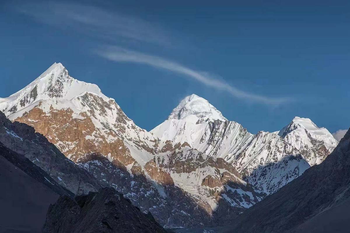
Views of the Karakoram’s 8,000-metre giants unfold across the valley.
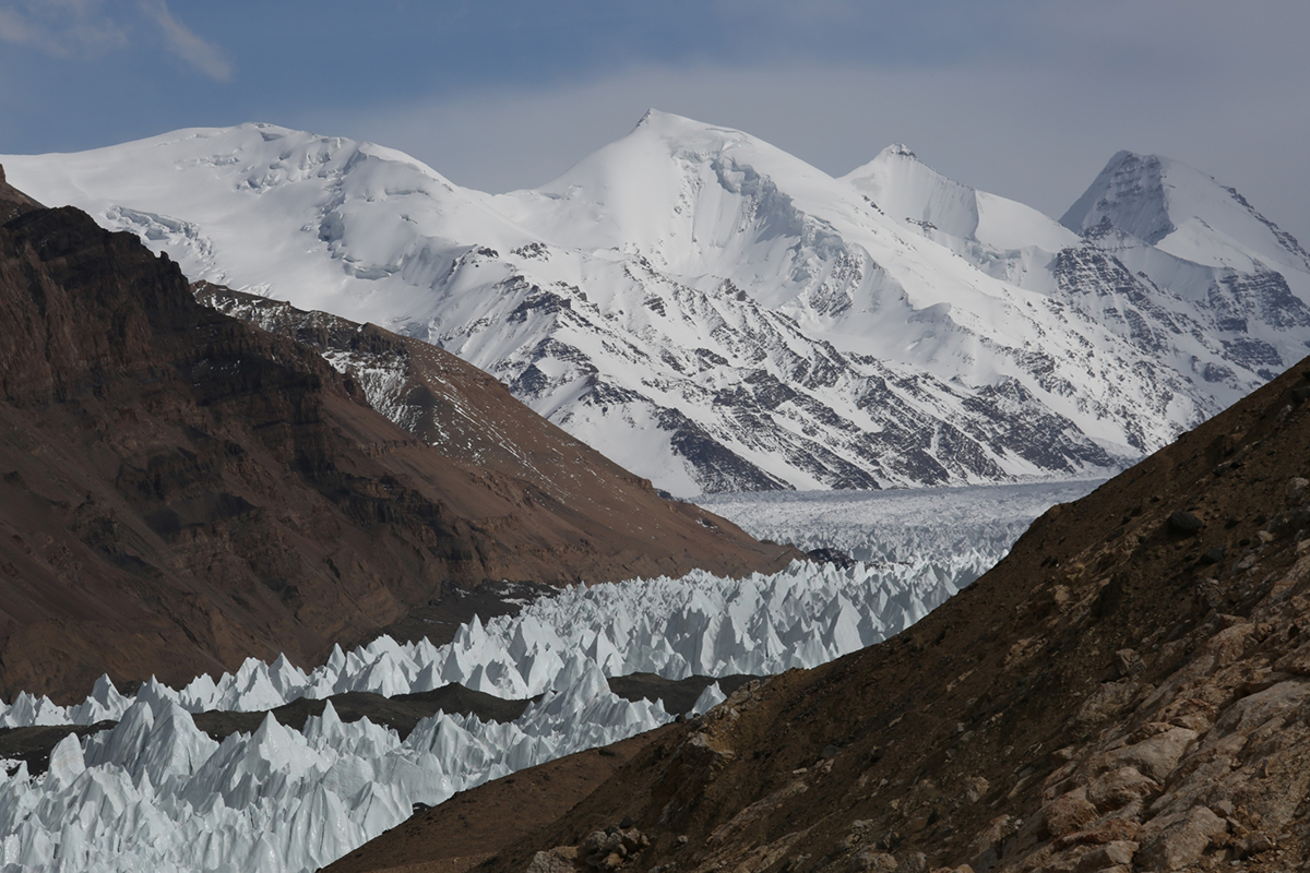
Short excursions reach crevasses, seracs and the headwaters that feed Shaksgam River.
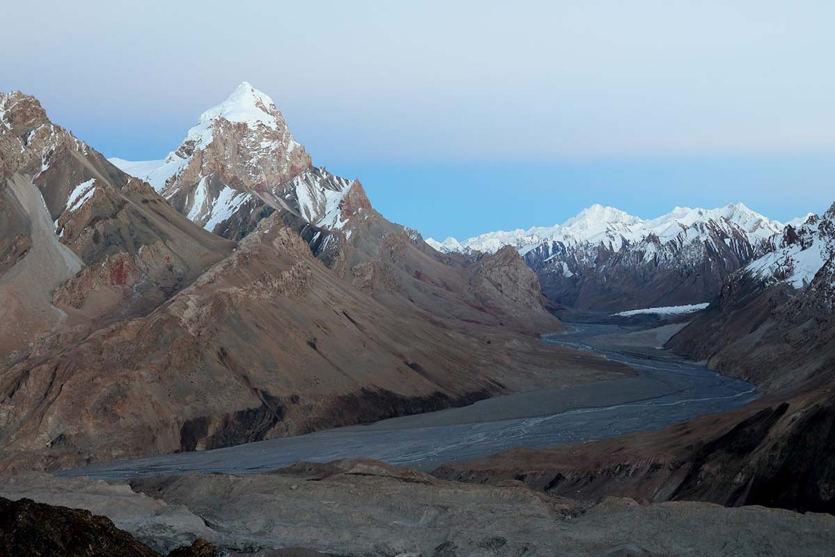
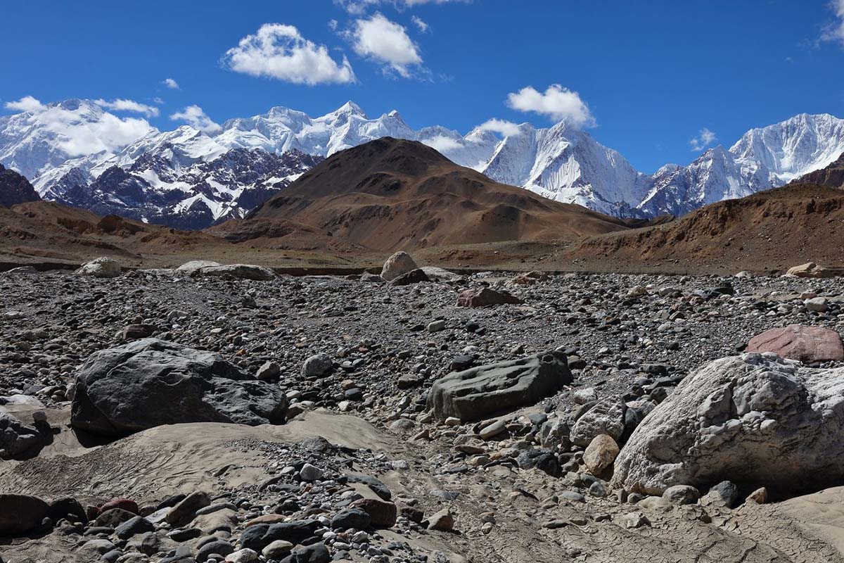
Broad river valleys and long walking days with the space to feel genuinely away.
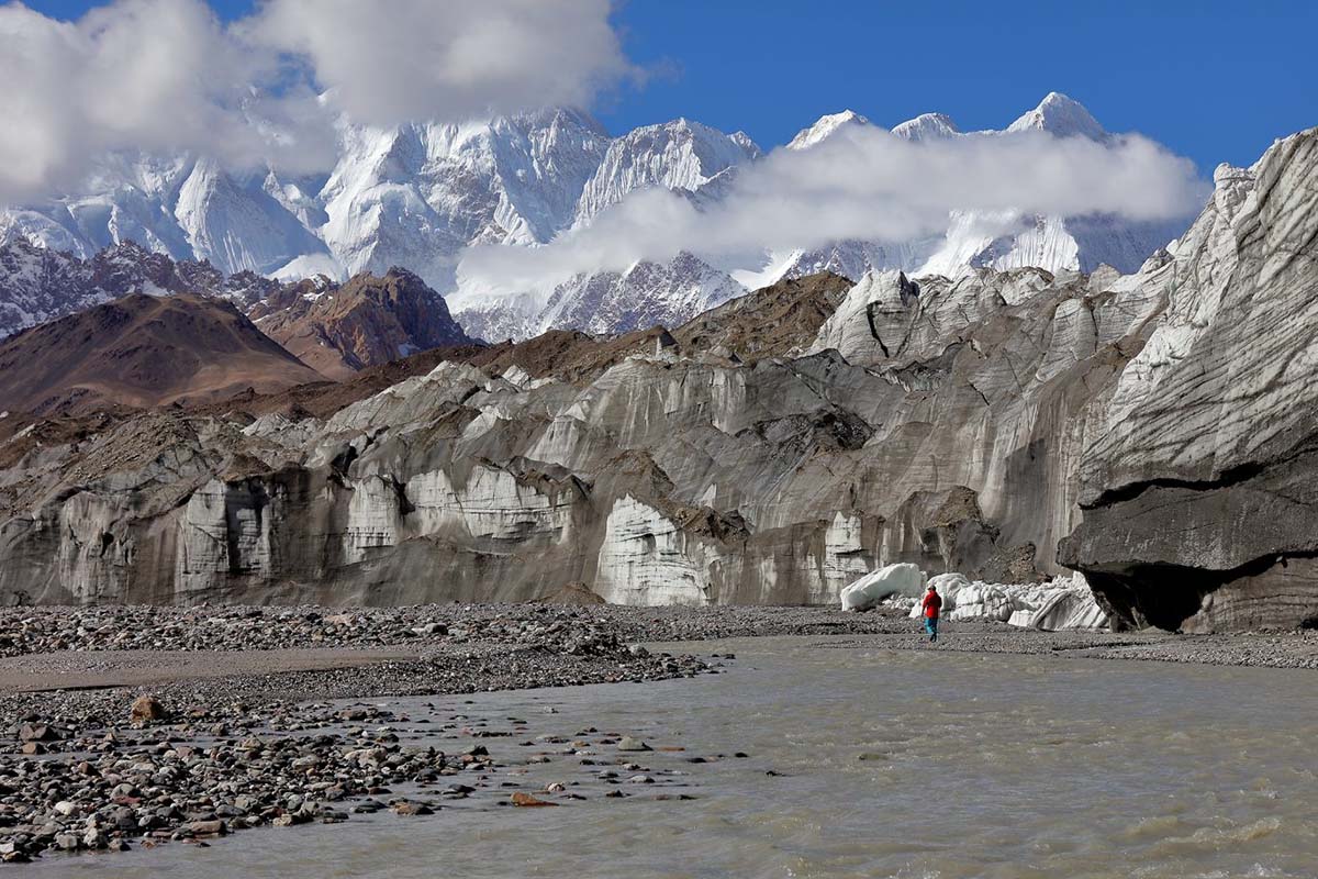
Travel from Kashgar via G219 to Mazar, then follow the Yarkand River to the walking start near Kurul/Yilik.
Allow time to acclimatise as the route rises from around 3,500 m to the 4,800 m pass, then descends towards Shaksgam River.
Turn west for K2 North Base Camp, south for Gasherbrum Base Camp and glacier side-trips, or combine both with additional days.
The same valley route carries the return; rivers, weather and camel logistics decide the daily rhythm.
Kashgar is the main resupply and staging city. The original route describes roughly 500 km by G219 to Mazar via Kargilik County, followed by a smaller road of about 50 km along the Yarkand River to Kurul/Yilik.
Road status, border controls and access procedures change. Treat these distances as planning context only; confirm the operational approach with the local team before committing flights or dates.
April–June and September–October are the usual planning windows. July and August can bring rain, flood risk and difficult river crossings; winter means much greater snow and cold exposure.
This area requires advance planning and may require border and other local permits. Availability and rules must be confirmed with local authorities before any booking; allow substantial lead time.
Expect one 4,800 m pass, valley walking around 4,000 m and no permanent trail in places where the river course shifts. The first days need a deliberate acclimatisation plan.
Crossings are part of the route. Local teams, water level and camel support are safety decisions — never assumptions to make from a map or a fixed itinerary.
There are no conventional lodges. Camps are chosen around water, safe ground and forage for the camel team; high camps above base camps may need extra porterage.
Expedition food is arranged in advance: simple hot breakfasts and dinners, with packed trail snacks at lunch. Tell the team about dietary needs before departure.
This is a packing framework drawn from the original route notes. A final list should be checked against season, current forecast, operator requirements and your own medical needs.
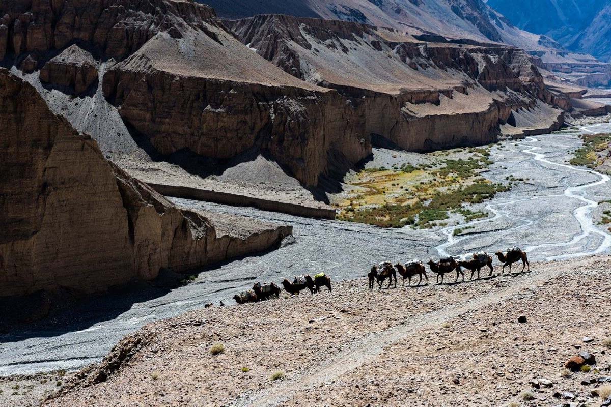
Camels carry camping equipment and food through the valley, and are used for key river crossings. Their local knowledge is not an add-on: it shapes the safe, workable route.
Tell us your trekking background, target travel month and whether you are drawn to K2 North, Gasherbrum or both. We will begin with current feasibility before sketching the route.
Start a Karakoram brief